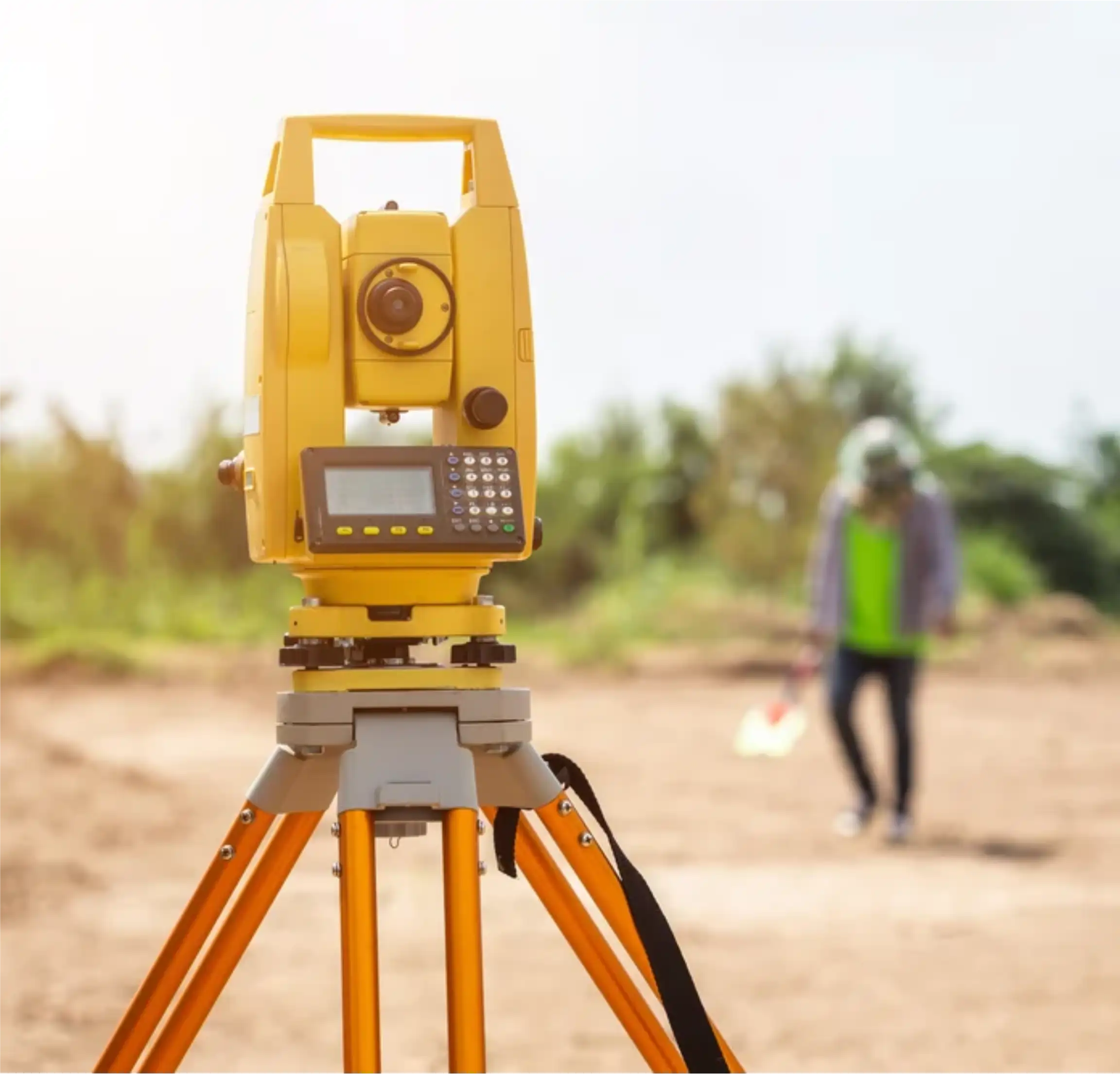

WELCOME TO X-SMART GEO SURVEYORS
We know what your needs are
Mapping Drones
Drone Survey
Uses Unmanned Aerial Vehicles (UAVs) or aircraft equipped with cameras and sensors to capture high-resolution imagery and generate orthophotos (geometrically corrected aerial images) and 3D models of an area.
Learn More ...
Route Surveying
Route Surveying
Specific type of linear survey performed to plan, design, and construct linear infrastructure projects. It involves establishing horizontal and vertical alignment, as well as documenting the Right-of-Way (ROW).
Learn More ...
Building Survey
Building Survey
Involves measuring and mapping the existing structure of a building to create accurate floor plans, elevations, and sections, often for renovation, historical preservation, or facility management.
Learn More ...


ABOUT
THANK YOU FOR CHOOSING
X-SmartGeo Surveyors
X-SmartGeo Surveyors is a dynamic, precision-driven land surveying and geospatial solutions firm based in South Africa.
We specialize in transforming complex terrain into clear, actionable data that drives confident decision-making for construction, engineering, environmental planning, and infrastructure development projects.
- Registered
- Experienced
- Trusted
- Reliable
SERVICES
WHAT WE CAN DO FOR YOU

Topographic Surveys
Creates a detailed map showing the three-dimensional shape of the land (terrain relief) and the location of natural and man-made features. It uses contour lines to depict elevation.
Read More
3D Laser Scanning Survey
Uses a Terrestrial Laser Scanner (TLS) to rapidly capture millions of highly accurate 3D points (a point cloud) of objects or environments. This is used to create highly detailed, dense 3D models of buildings, industrial plants, and complex structures.

Drone/Aerial Mapping or Survey
Uses Unmanned Aerial Vehicles (UAVs) or aircraft equipped with cameras and sensors to capture high-resolution imagery and generate orthophotos (geometrically corrected aerial images) and 3D models of an area.
Read More