At X-SmartGeo, we combine the precision of advanced technology with the expertise of seasoned professionals to deliver unparalleled land surveying services. We are a team of licensed surveyors and geomatics specialists dedicated to providing accurate, reliable, and legally sound data for all your land-related needs.
Our mission is to empower our clients—from individual homeowners to major developers—with the information they need to make informed decisions. We understand that a survey is more than just a map; it's the foundation for your project, a safeguard for your investment, and a key to resolving complex issues.
Our Commitment to You:
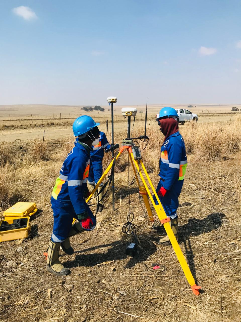
Precision and Accuracy: We use the latest surveying technology, including GPS, total stations, and drone photogrammetry, to capture detailed and precise data.
Legal Expertise: Our surveyors possess a deep understanding of property law and local regulations, ensuring every survey we deliver is legally defensible and compliant.
Client-Centric Service: We believe in clear communication and a collaborative approach. We work closely with you to understand your specific requirements and deliver a solution that meets your project's goals.
Land & Cadastral
More details
Engineering
More details
3D Mapping
More details
NUMBERS
WE ARE PROFESSIONAL
Why you should choose us?
10+Years of Experience
5+Expert Staff
7+Partners
70+Happy Clients
LAND
X-SmartGeo Surveyors
Our Commitment
Impeccable Accuracy: We stand by the data we deliver. Our high-precision equipment is rigorously calibrated, guaranteeing results that meet or exceed industry standards.
Clear Communication: We cut through the technical jargon. You'll receive clear, actionable reports and drawings that are easy for non-surveyors to understand and integrate into their work.
Local Knowledge, Global Standards: As a South African-based firm, we have deep, practical knowledge of local planning and property laws, while upholding the highest global standards in Geomatics practice.
We’re Partners, Not Vendors: Your project's success is our highest priority. We consult with you throughout the process to ensure our deliverables perfectly align with your engineering, architectural, and financial objectives.
We Don’t Just Measure Land. We Lay the Foundation for Your Success.
Our commitment is simple: to provide the clearest, most reliable geospatial data available. We believe that every successful project, no matter the scale, starts with impeccable data.