SERVICES

WHAT WE CAN DO FOR YOU

Our Service Offering

Topographic Surveys

Creates a detailed map showing the three-dimensional shape of the land (terrain relief) and the location of natural and man-made features. It uses contour lines to depict elevation.

Contact us

3D Laser Scanning Survey

Uses a Terrestrial Laser Scanner (TLS) to rapidly capture millions of highly accurate 3D points (a point cloud) of objects or environments. This is used to create highly detailed, dense 3D models of buildings, industrial plants, and complex structures.

Contact us

Drone/Aerial Mapping or Survey

Uses Unmanned Aerial Vehicles (UAVs) or aircraft equipped with cameras and sensors to capture high-resolution imagery and generate orthophotos (geometrically corrected aerial images) and 3D models of an area.

Contact us

GIS

Geographic Information Service

Involves using software and tools to manage, analyze, and display all types of geographically referenced data. GIS specialists use spatial analysis to solve complex problems and create intelligent maps.

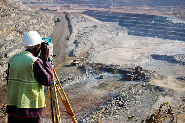
Road, Pipeline, and Powerline Survey (Route Surveying)

Specific type of linear survey performed to plan, design, and construct linear infrastructure projects. It involves establishing horizontal and vertical alignment, as well as documenting the Right-of-Way (ROW).

Contact Us

Building Survey (As-Built or Architectural Survey)

Involves measuring and mapping the existing structure of a building to create accurate floor plans, elevations, and sections, often for renovation, historical preservation, or facility management.

Contact Us
GEO

X-SmartGeo Surveyors

Mining Infrastructures Survey

• Specialized surveying within the mining industry for tasks like volumetric calculations of stockpiles, monitoring ground movement, underground tunnel alignment, and mapping all surface and subsurface infrastructure related to the mine.